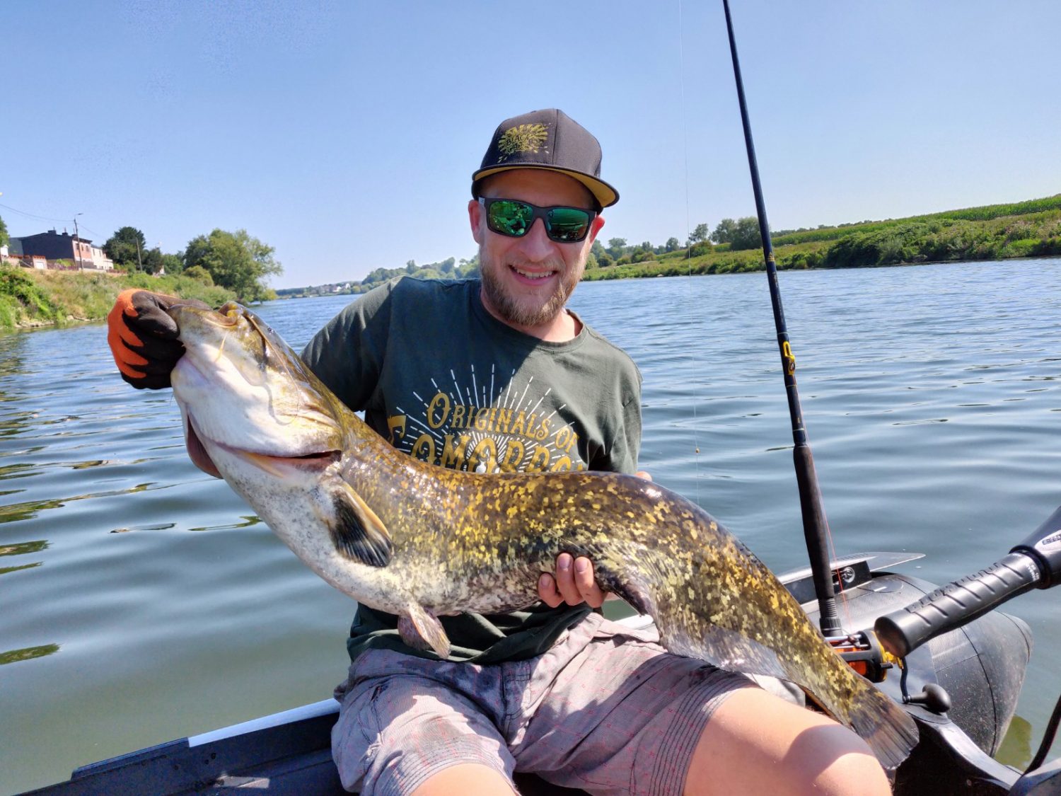
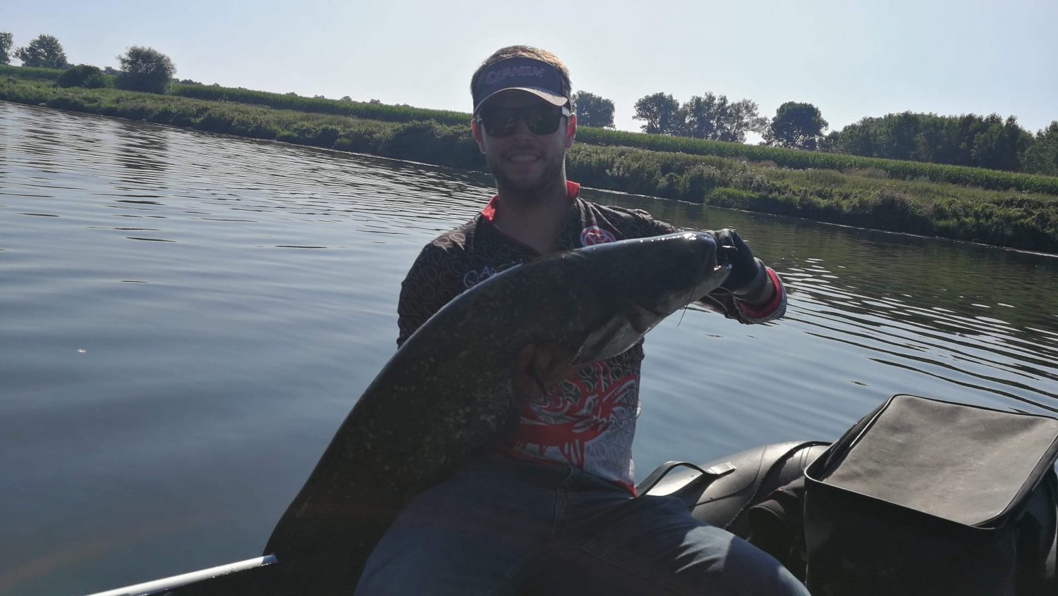
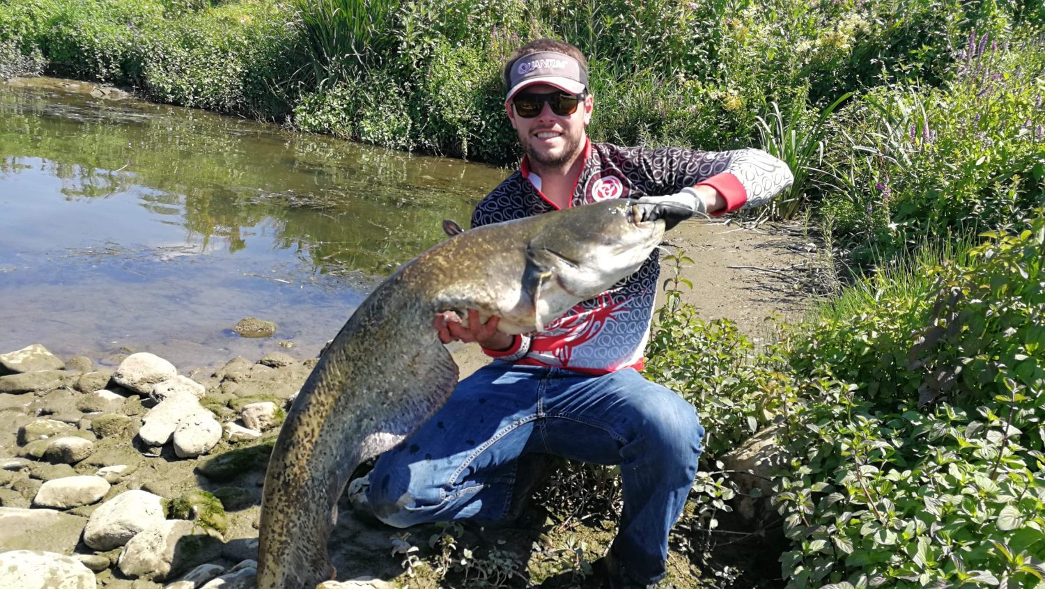
Trying out the new fishfinder…
Catfish hunting with the Helix.
A while ago Pieter asked me to join him on his zodiac to give some tips and tricks for using his new Humminbird Helix 7 Chirp GPS. We agreed on a day to explore a new stretch of the Meuse.
To me, a Humminbird Helix unit of any size with CHIRP and GPS basically has everything you need to go whisker-hunting successfully. What’s important here is that the unit can handle the low Chirp frequencies. This is, for example, not the case when a unit has a CHIRP DI transducer.
CHIRP
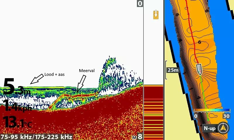
When a unit uses its Chirp function, it doesn’t just transmit a signal on 1 frequency, but sweeps through a certain range of frequencies to achieve a drastic improvement in the detail of the underwater world. While fishing, you can choose to display either the low Chirp frequencies or the high frequencies on the screen. Below is an example of that:
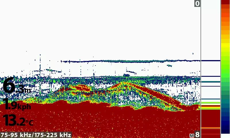
At the bottom left we can see that both the 75-95 and 175-225 kHz frequency ranges are displayed on the screen.
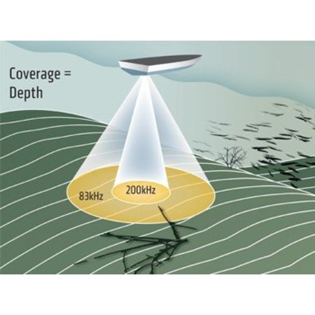
These different frequencies also come with a different cone width. As a rule of thumb: the higher the frequency of the 2D sonar, the narrower the cone.
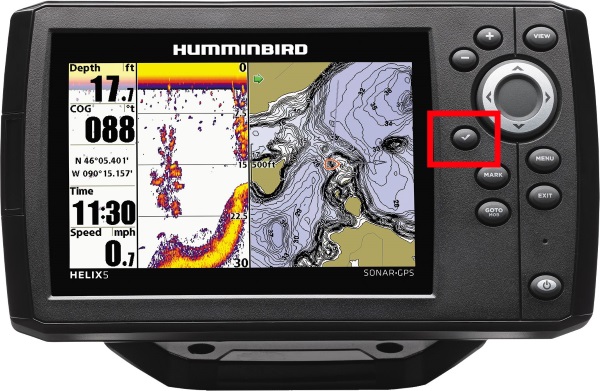
Humminbird has a handy feature on its units for switching between the different displayed frequencies: the checkmark!
So by switching frequency we can get an idea of how close a fish is to the transducer. If the fish is visible on the low frequency but not on the high one, the fish is a bit further away from the boat. If the fish is visible on both frequencies, the fish is close under the boat’s transducer.
Why can this be useful when fishing for catfish? We want to use the low chirp frequency because we can display the location of our bait much better when scanning with a low frequency, working with a wide cone. (Simply put, a larger area gets scanned.) On a fast-flowing river, this means we don’t always have to use 250g of lead to get our bait right under our transducer to visualize it.
GPS
A second function we consider indispensable while catfishing: the GPS function. Combined with the Autochart Live function, this is a handy tool for mapping out a river. Where are the deeper sections? Where have we already caught fish? Where are the rocks? Where are the slopes?
With the Autochart Live function, the unit creates real-time, fully automatic depth maps. We usually make several drifts over the same lock section on the Walloon Meuse. Here it’s useful to know which section we’ve already drifted over on a previous trip or earlier in the day. It can also be handy to drop a marker at every catch to detect ‘hotspots’.
As you can see in the screenshot above, it’s sometimes in those small depth differences and little dips that a fish is holding. Without mapping it’s impossible to know the location of every little dip and thus anticipate your drift position to pass right over it.
As an extra add-on, I always recommend the Humminbird Zero Line SD card. This makes the resolution of your maps much more detailed (you can zoom in further) and gives you a lot more storage space.
Aaah right… we went fishing. It was an interesting fishing day. Using the fishfinder we found the deeper sections and were able to fish them with both bait fish and worms. Caught 5, with the biggest at 1m30.